Have you ever wondered why certain types of conflict seem to cluster in specific regions — or why some areas remain peaceful?

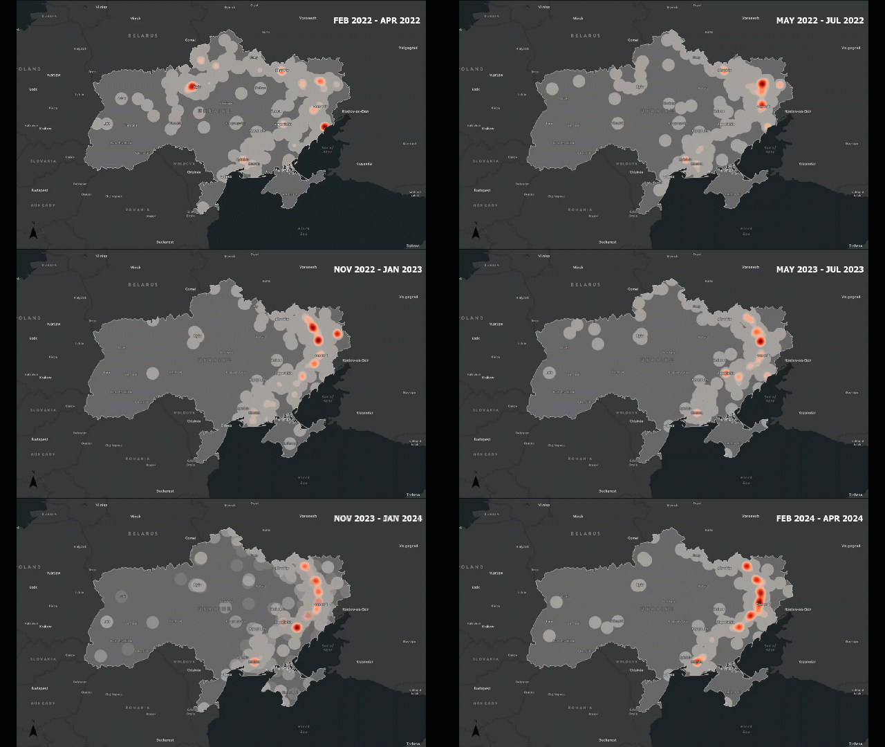
Traditional analysis might count how many incidents occur. Spatial analysis lets us see how those incidents are arranged — are they clustered around borders, along roads, or near population centers?
For example, in a conflict zone, we might find that attacks cluster along major highways or near disputed boundaries. This pattern tells us something about accessibility, control, or strategic importance — insights that are invisible in non-spatial data.
Here is where spatial analysis plays a huge role.
Continue reading